Skydio X10
by Skydio
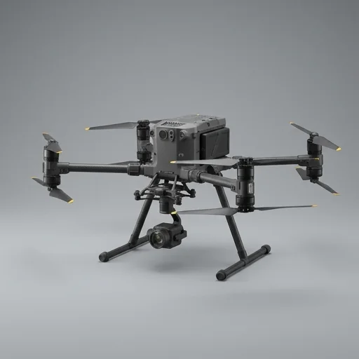
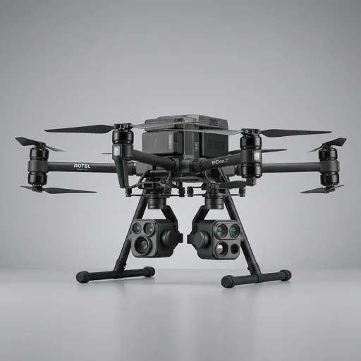
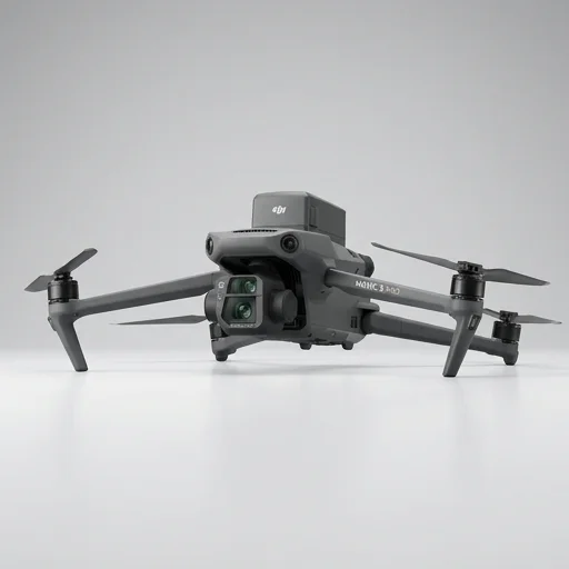
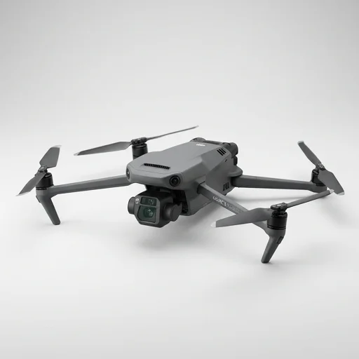
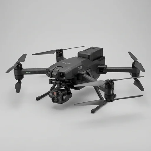
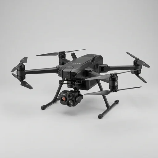
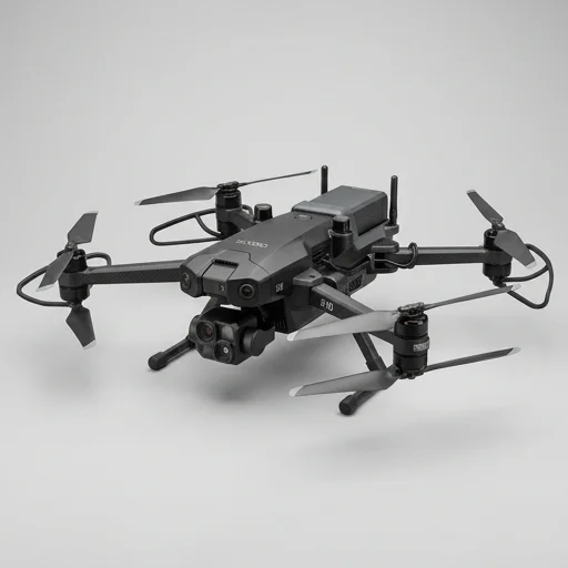
The Skydio X10 sets a high bar for enterprise autonomous drones, combining industry-leading obstacle avoidance, rapid sensor swapping, and powerful AI-driven flight modes.
Technical Specifications
- 3D Scan autonomous mapping mode
- 360° obstacle avoidance with 6 navigation cameras
- NightSense low-light thermal imaging
- Rapid lens swap system (wide, tele, thermal)
- AI-powered subject tracking and autonomy engine
- Skydio Cloud and remote flight deck integration
- IP55-rated weather-resistant airframe
Pros
- ✓ Exceptional autonomous flight even in GPS-denied environments
- ✓ Best-in-class obstacle avoidance reduces crash risk
- ✓ Fast deployment for public safety and infrastructure inspection
- ✓ High-resolution zoom and thermal payloads swap in seconds
- ✓ Strong software ecosystem for fleet management and data sharing
- ✓ Durable build suited for harsh field conditions
Cons
- ✕ Premium price point compared to consumer/prosumer drones
- ✕ Battery life still limited for extended missions
- ✕ Requires subscription for full cloud feature access
- ✕ Learning curve for advanced enterprise workflows
- ✕ Replacement parts and lenses add ongoing cost
Skydio X10
- 360° collision avoidance
- Rapid sensor swapping
- GPS-denied autonomy
We earn a small commission on qualifying purchases via AliExpress affiliate links — at no extra cost to you.
The Skydio X10 represents the next generation of autonomous enterprise drones, purpose-built for public safety agencies, utilities, and industrial operators who need reliable aerial intelligence in demanding conditions. Built on Skydio's proprietary AI-driven autonomy engine, the X10 uses six 4K navigation cameras paired with powerful onboard processing to detect and avoid obstacles in real time, allowing it to fly confidently through cluttered environments like power substations, building interiors, and dense urban corridors where GPS signals falter. This obstacle avoidance system doesn't just prevent crashes; it enables operators with minimal piloting experience to execute complex missions such as structure scans, bridge inspections, and search-and-rescue sweeps with a level of precision that once required expert-level manual flying skills. At the core of the X10's hardware is a modular payload system that lets teams swap between sensor packages depending on mission requirements. The standard configuration includes a 64-megapixel wide camera alongside a telephoto lens capable of extreme digital zoom, useful for reading license plates or inspecting infrastructure from a safe standoff distance, while an optional thermal payload adds long-wave infrared imaging for nighttime searches, fire assessment, or detecting heat signatures in industrial equipment. The drone's rugged, weather-resistant frame is engineered to operate in wind, rain, and temperature extremes, and its fast-swap battery system minimizes downtime between flights, a critical feature for first responders and inspection crews who need to keep operations moving without lengthy charging delays. Skydio pairs the X10 with a suite of software tools designed for enterprise workflows, including 3D scene reconstruction, automated flight paths for repeatable inspections, and cloud-based data management that integrates with existing enterprise systems. The drone supports Skydio's remote operations capabilities, enabling drone-in-a-box deployments and beyond-visual-line-of-sight missions where regulations permit, which is particularly valuable for security patrols and infrastructure monitoring at scale. Combined with encrypted data handling that meets government and defense security standards, the X10 positions itself as a versatile, mission-ready platform for organizations that require dependable, intelligent drone operations across public safety, energy, construction, and defense sectors.
Customer reviews
We've deployed the X10 on multiple structure fires and search operations. The obstacle avoidance let us fly close to buildings and trees without hesitation, and the thermal lens swap took seconds in the field.
3D Scan mode captured incredibly detailed models of a bridge we inspect quarterly. My only gripe is the subscription cost for cloud storage and analytics stacks up over a fiscal year.
Flew this in light rain and gusty wind near power lines and it held steady. The navigation cameras clearly earn their keep — no near misses since we switched from our old fleet.
Autonomy and tracking are outstanding for suspect tracking scenarios. Wish flight time was a bit longer for extended perimeter searches, but swapping batteries is quick enough.